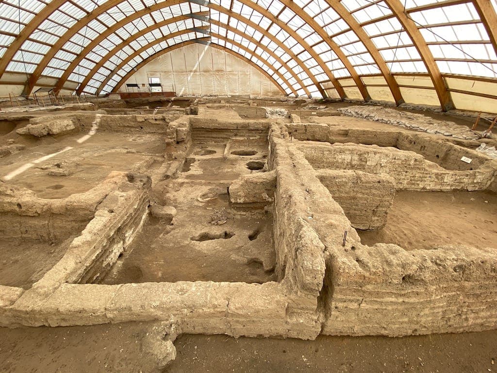
Çatalhöyük is a Neolithic settlement in the Çumra district of Konya, on the South Anatolian Plateau, made up of two mounds (East and West). The East Mound contains 18 settlement layers dating from 7400-6200 BCE; the West Mound belongs to the Chalcolithic period between 6200-5200 BCE.
The settlement was first discovered in 1958 by British archaeologist James Mellaart and his team; excavations between 1961 and 1965 uncovered the remains of more than 160 houses. Çatalhöyük was inscribed on the UNESCO World Heritage List in 2012 for offering rare evidence of the transition from village to urban life in a settlement that persisted in the same place for over 2,000 years.
Highlights
Streetless town plan
Houses were built adjoining one another (back to back); entry and exit were through openings in the roofs rather than streets.
Wall paintings and reliefs
Hunting scenes, bull-head reliefs (bucrania), and geometric patterns are among the finds.
Burials within houses
The dead were buried beneath platforms inside houses; new houses were built atop old ones, forming an 18-layer mound.
Egalitarian settlement
The structures show no architectural distinction pointing to hierarchy, suggesting the relatively egalitarian structure of the society of the time.